

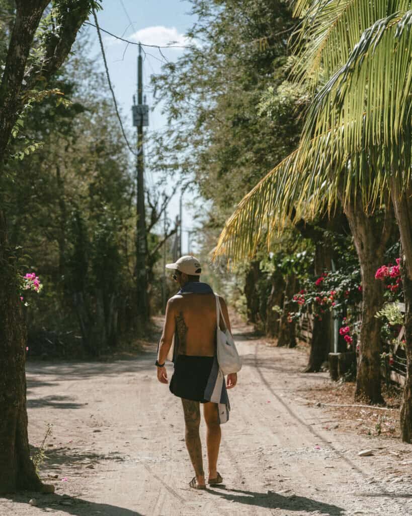
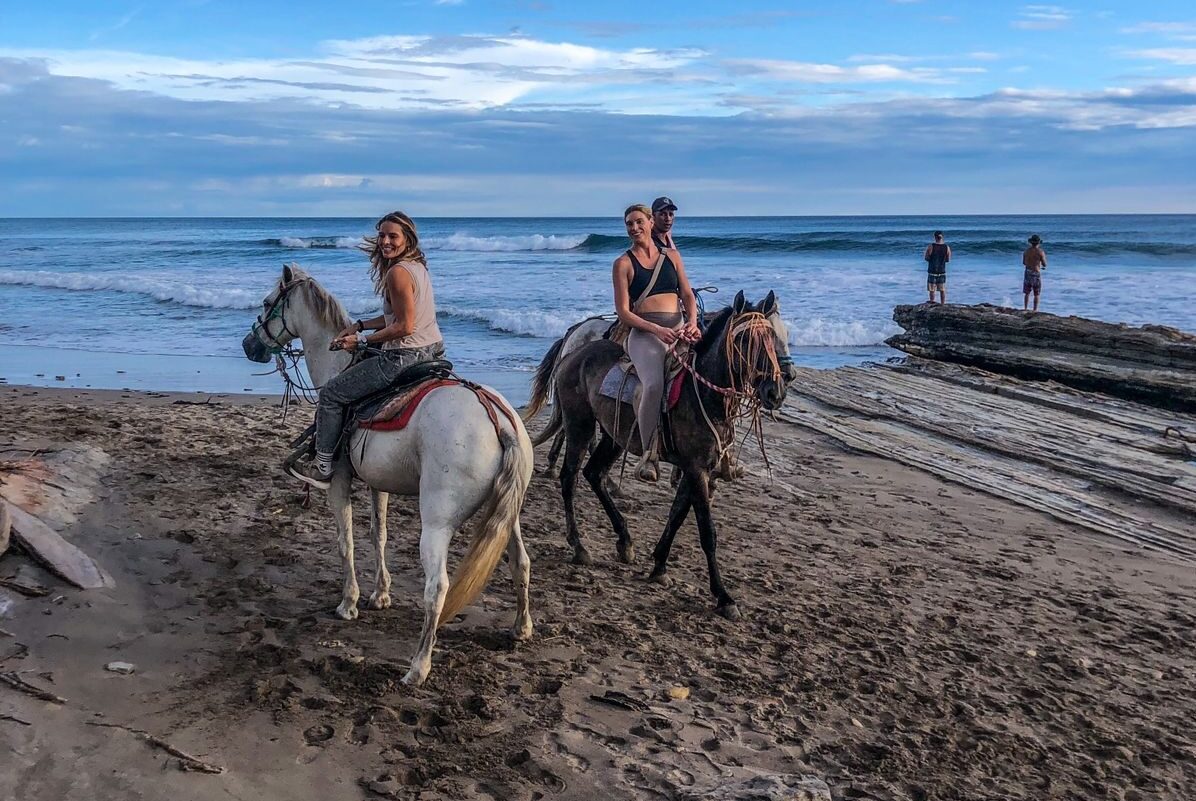
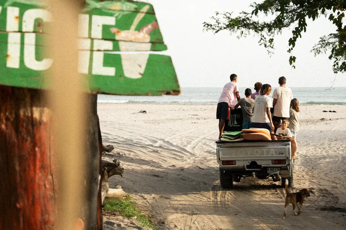

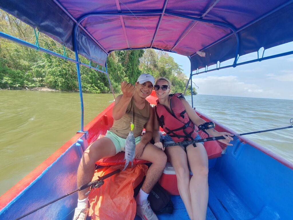
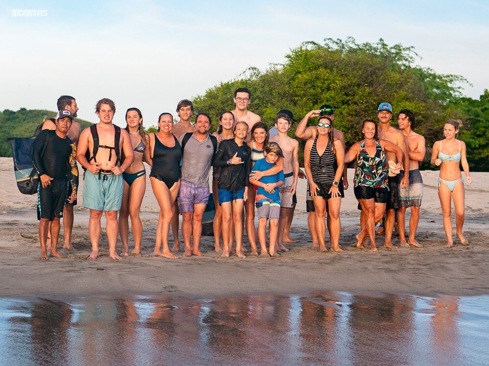
Photo: Dylan Wooters · CC BY-SA 2.0 · Wikimedia

Popoyo — real photo

A winter surf-town guide

A gentle bay beside the reef: Popoyo.

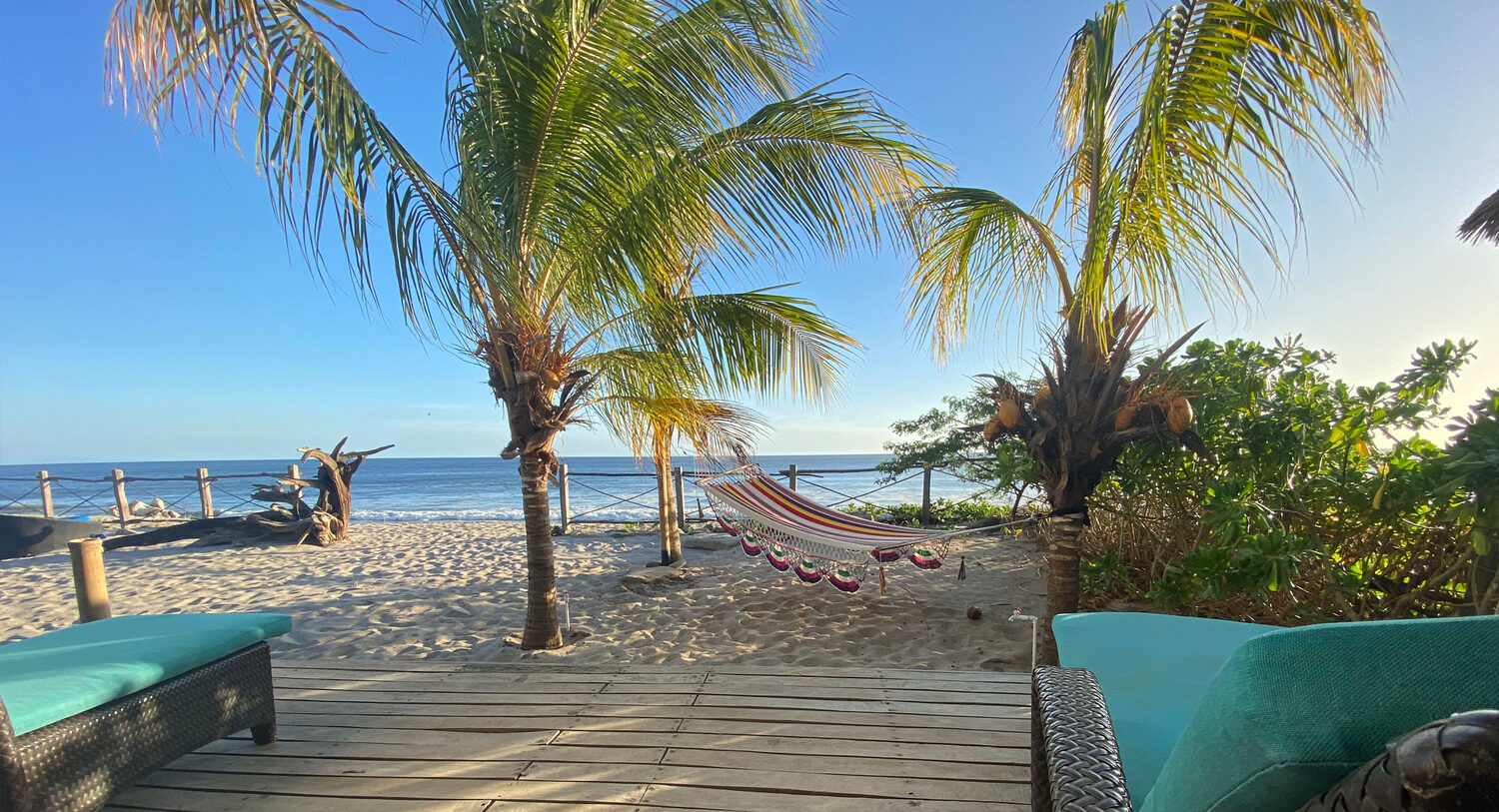
A rugged Pacific shoreline where surf breaks, villas and small beach clusters are spread along the coast—not gathered into a town.

Getting there

At least one connection · one long transfer

SeattleSEA · leave winter behind
connect · no nonstop
MGAManagua airport
2½–3½ hr drive
Popoyocar parked, Pacific ahead

Plan a full travel day door to door. SEA–MGA itineraries require at least one connection; United, American, Copa and Avianca are among the connecting options, followed by the drive to the Tola coast.

01 / On arrival

What it looks like

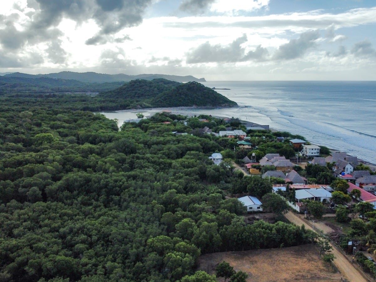
The aerial view is the honest orientation: a long, low-density shoreline with beach neighborhoods, surf properties and rural land between them.

Satellite close-up of Playa Guasacate and Popoyo showing Pacific surf, the beach road, scattered buildings and undeveloped land
Guasacate and Popoyo from above · a beach strip, not a compact center

Popoyo / Guasacate is a string of beach neighborhoods rather than a town: small clusters of places to stay and eat, separated by stretches where the car earns its keep.

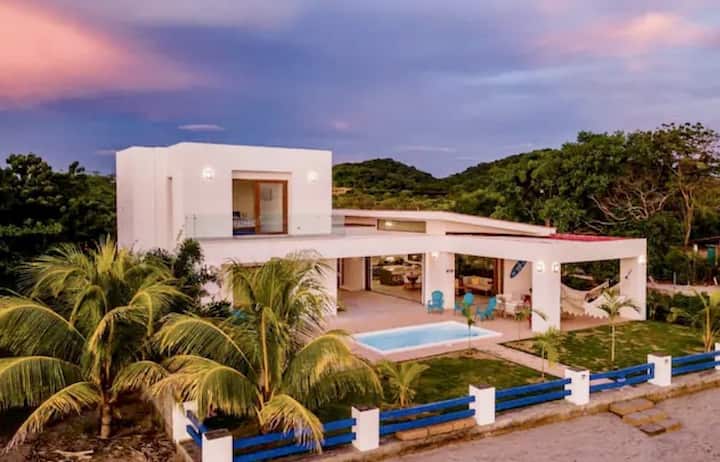
Development follows surf tourism—villas, rentals, guesthouses, surf camps and a few managed communities—rather than a plaza or dense hotel district. Some nearby spots can be walked from the densest beach strip, but dirt and gravel roads, heat and distance make the map feel larger on the ground.

02b / From the sky

The break from above

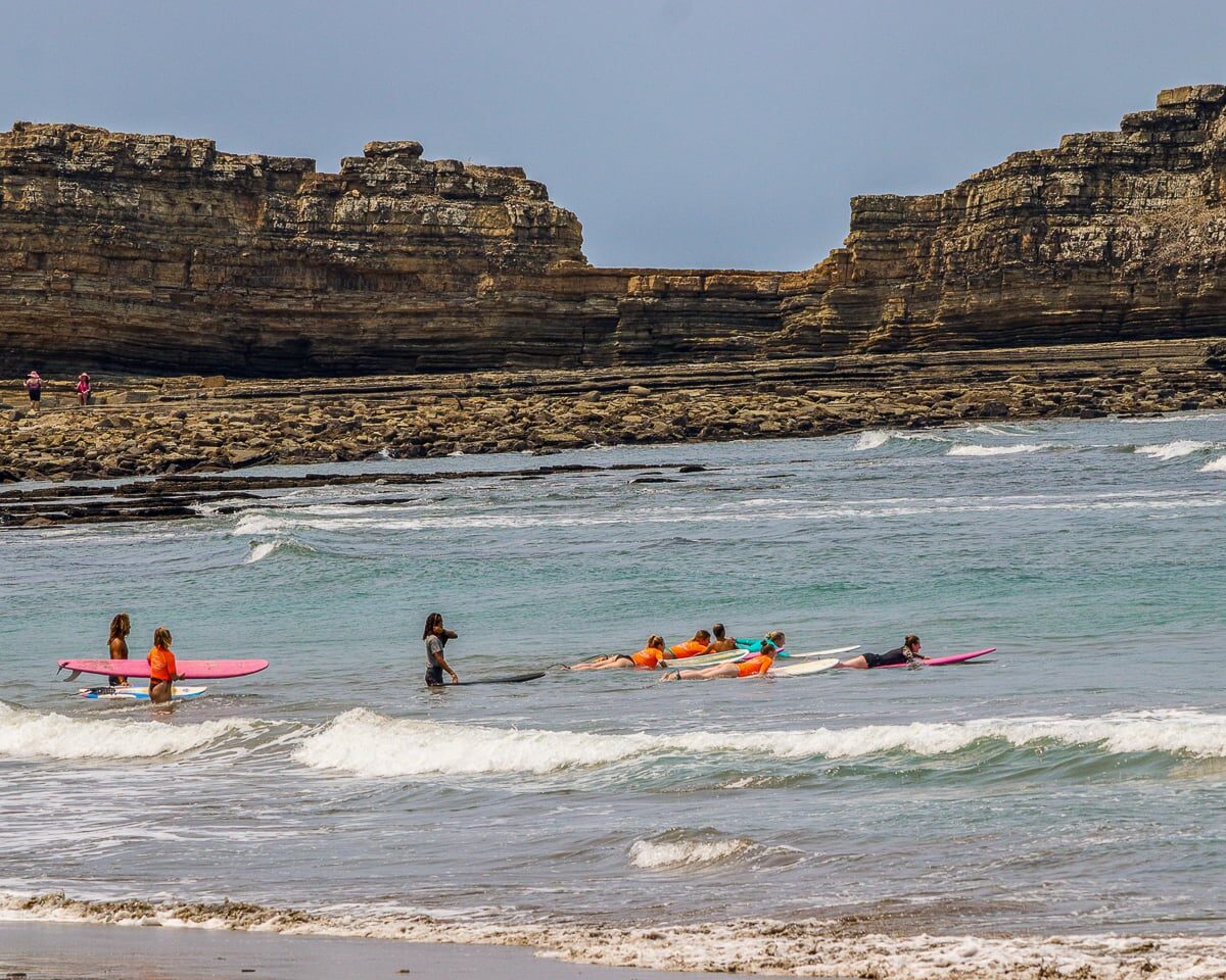
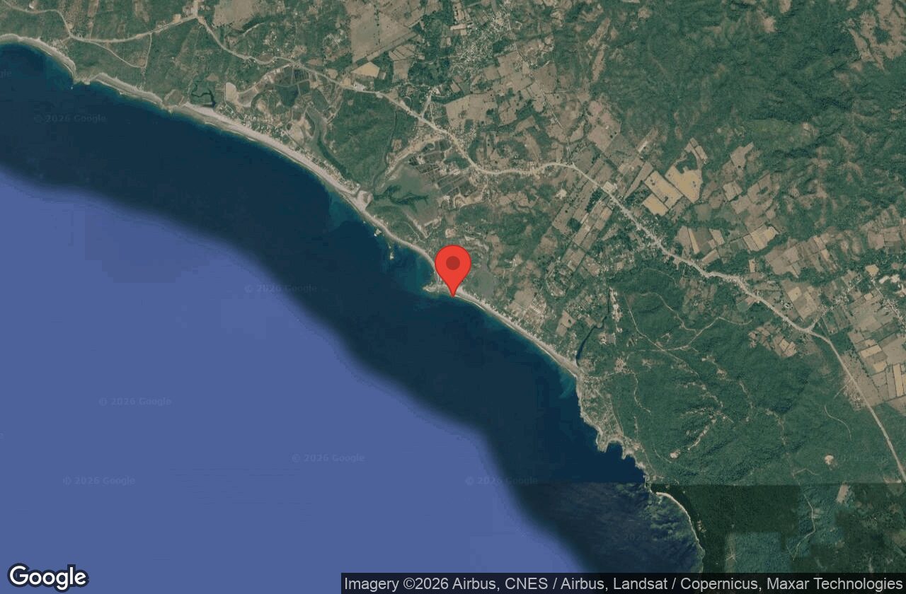
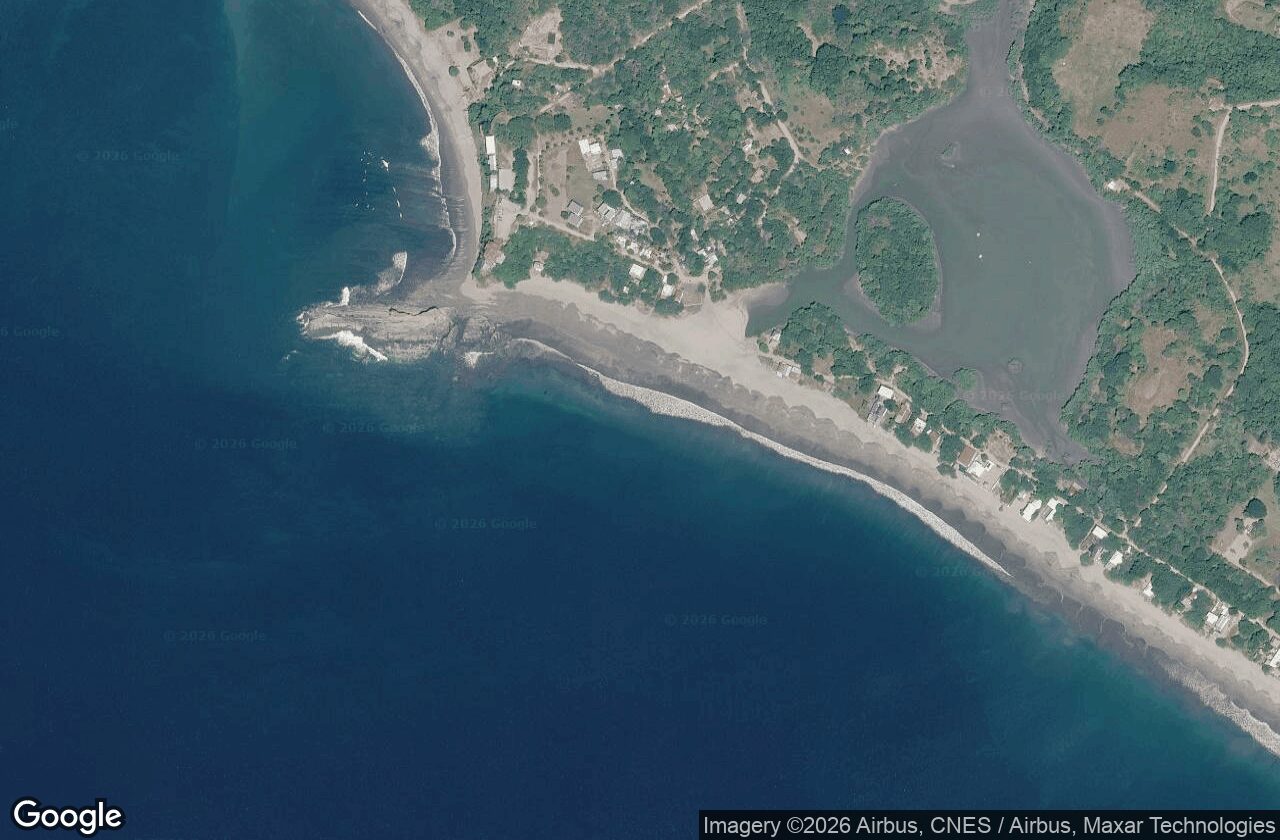
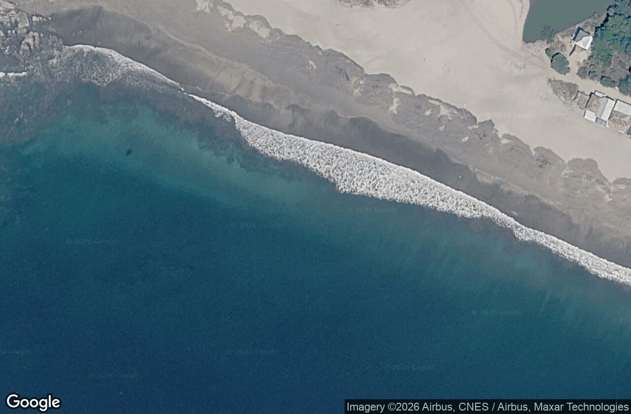
A gentle beginner bay beside the heavier outer reef — the aerials show both the mellow inside and the reef line. Live Google satellite imagery, from a wide bay overview down to the peak — click any frame to enlarge.

Satellite view: The whole bay — Playa Popoyo marked
The whole bay — Playa Popoyo marked
Satellite view: Zoomed to Playa Popoyo
Zoomed to Playa Popoyo
Satellite view: Tight on the peak — read the wave
Tight on the peak — read the wave

Satellite tiles: Google / Airbus / Maxar. Framed on Playa Popoyo at three zoom levels.

02 / What is available

Facts on the ground

The coast is functional but basic. A well-chosen rental and a car turn the distances, utilities and errands into manageable parts of the stay.

Dispersedbeach neighborhoods and properties; there is no single town center
Modestrestaurant choice, with self-catering important for a longer stay
Car essentialfor groceries, cash, pharmacy, medical care and most beach-hopping
Safety & US advisory

Level 3 — Reconsider Travel

Nicaragua is at Level 3, Reconsider Travel (US State Department, updated 4 June 2026), citing wrongful detention and limited healthcare — the highest-risk rating on this shortlist. It is the real trade-off here against the price and the quiet. Re-check travel.state.gov against your exact dates before committing.
Food

Enough choice, not endless choice

The mix includes Nicaraguan food, seafood, pizza, brunch, smoothies and hotel restaurants. Magnific Rock, Rancho Santana and Hacienda Iguana are useful names, joined by smaller local places along the Guasacate / Popoyo strip.

Accommodation

Choose the property as carefully as the beach

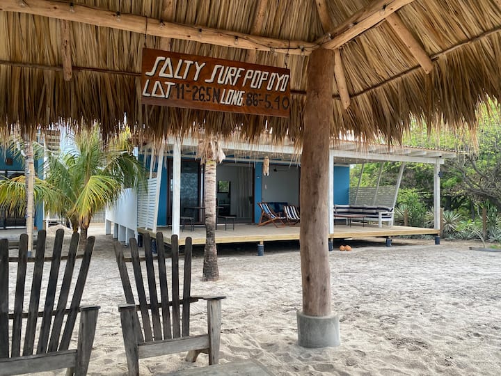
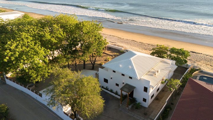
Resorts, boutique hotels, villas, surf camps, guesthouses and long-term rentals are spread along the coast. For a month, a villa or house with a kitchen plus backup power and water is the most practical format.

Groceries

Small provisions nearby; stock up inland

Local shops cover modest needs, but there is no major supermarket on the beach strip. Plan a larger grocery stop near Tola or on the drive from Managua, especially if the rental has a kitchen.

Health & cash

Both require forethought

Pharmacy options are limited and ATMs are famously scarce in the immediate area. Bring cash, confirm the nearest reliable machine before arrival and expect to drive toward Tola or farther for medical care; serious emergencies involve a long transfer.

Internet & power

Property details matter

Villas and surf camps advertise Wi-Fi, but reliability varies with the property, power and local provider. Outages and fluctuations happen; higher-end properties may use generators or solar with battery backup.

Water

Cisterns and tanks are normal

Many properties rely on stored water rather than an always-on municipal supply. Ask how the system works at the exact rental and treat conservation as part of ordinary coastal life.

Roads

The final stretch may be rough

Access is a mix of paved road and dirt or gravel, especially near individual properties. Conditions matter more in the rainy season, when a suitable rental car becomes even more important.

Getting around

Arrange wheels before arrival

Rental cars, private drivers and prearranged shuttles are the dependable options. Informal taxis are limited, so spontaneous transport is not a strong substitute for having a car.

Sometimes walkableYour own property cluster or surf camp, plus a few nearby restaurants if you stay in the densest Popoyo / Guasacate strip. Confirm actual walking routes, not just map distance.
Contained and easierDaily life inside a managed community such as Rancho Santana or Hacienda Iguana, where amenities are grouped more deliberately. Reaching the wider coast still requires wheels.
Car essentialGroceries, pharmacy, ATMs, beach-hopping, Tola, medical needs and most errands. The key accommodation question is whether useful things are near enough to avoid constant driving.
Tourism profile

Who comes here

A small, internationally known surf spot with a steady trickle of travellers rather than a mass-tourism crowd.

Steady trickle Visitor volume — no published count for the town
International Origin — surfers "from all over the world"
Dec–Apr High season (weather) — strongest surf Apr–Oct
Where they come from
International surfers
Domestic / other

Bars estimated — the profile gives a qualitative split ("little mass domestic tourism"), not measured shares.

High season (weather peak)
J
F
M
A
M
J
J
A
S
O
N
D

Shaded = Dec–Apr weather peak. Surf itself is strongest Apr–Oct.

Crowd level

Small, laid-back and uncrowded outside holidays and good swells.

Primary crowd
Surfers Surf-vacationers Backpackers Guasacate = cheaper / backpacker Wider Popoyo = surf-vacationer

Town-level visitor counts are rarely published; volume, origin split and crowd level above are qualitative estimates rather than measured figures.

03 / Orient yourself

The map

Sparse place labels are part of the picture. The numbered map connects the two beaches, major properties and the inland service towns that make the coast work.

Numbered hybrid aerial map of Popoyo and Guasacate showing the Pacific shoreline, sparse roads, Playa Popoyo, Playa Guasacate, Rancho Santana, Hacienda Iguana, Finca Popoyo, Tola and Rivas
Popoyo / Guasacate · north is up · seven orientation points numbered
  1. 1Playa PopoyoThe coast's namesake surf beach
  2. 2Playa GuasacateThe denser beach-strip reference point
  3. 3Rancho SantanaManaged coastal community
  4. 4Hacienda IguanaManaged community farther southeast
  5. 5Finca PopoyoOrientation point in the Guasacate cluster
  6. 6TolaNearby administrative and provisions center
  7. 7RivasLarger inland reference point
Select a numbered marker for context.Use two fingers to move the map on touch screens.
03b / Where rentals sit

Where the rentals sit

Accommodation clusters into a few zones relative to the Guasacate beach and break. The map shows those zones and a rough walk-time from the break — approximate zones, not individual listings.

Approximate accommodation zones — not individual listings. Rings ≈ 2-minute and 10-minute walks from the break.

  • 1 Beachfront strip — steps (0–2 min)Guasacate beachfront on the sand; the core surf-town zone, reef 5–15 min along the beach.
  • 2 Second-line Guasacate — 2–5 minA block back from the sand; still an easy flat walk to the beach.
  • 3 Inland Popoyo / Las Salinas — moto/carUp to ~3 km inland; needs a moto or car — not walkable to the sand.
  • 4 Rancho Santana (gated, S) — 10–20 min driveVillas near resort beaches; Popoyo/Guasacate not walkable, a short drive south.
  • 5 Hacienda Iguana (gated) — short driveSurf inside the gated community; other breaks a short drive away.
05 / Along the coast

Things to do

The landscape is the itinerary: surf, long beach hours and a few purposeful drives. Popoyo works best when that slower rhythm is the point.

The defining feature

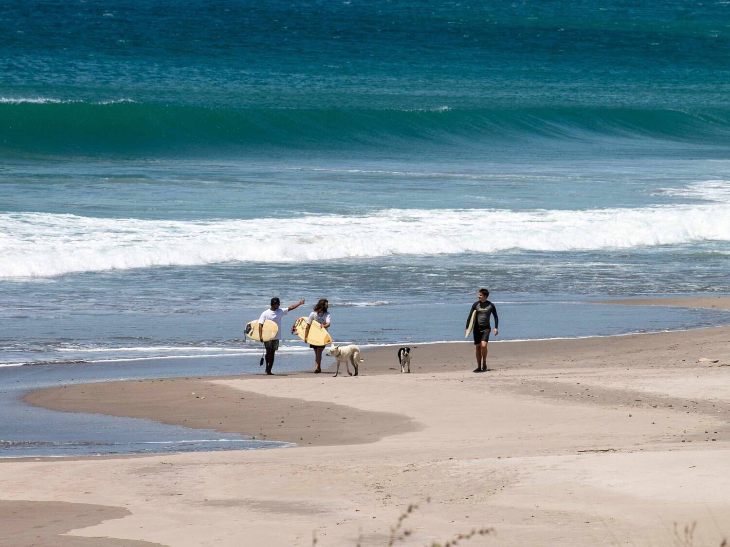
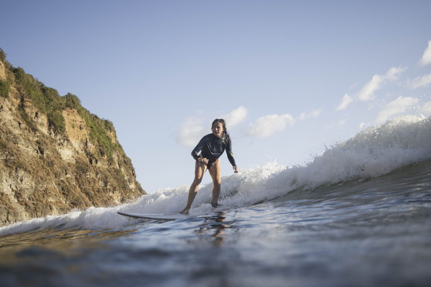
Watch or ride the surf

Playa Popoyo is the coast's namesake surf anchor. Experienced surfers can choose lodging around access; everyone else can make the waves part of the view.

Long and simple

Beach time

Settle into Playa Guasacate or the beach nearest your stay rather than treating every outing as a cross-coast mission.

Use the wheels

Beach-hop deliberately

The shoreline is dispersed, so combine a different stretch of sand with a meal or errand and let the drive be part of seeing the area.

Stay put well

Use the property

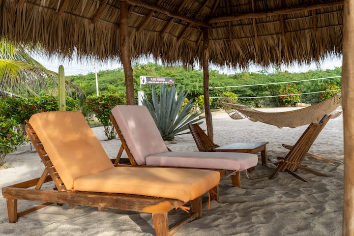
Surf camps, villas and managed communities are part of the experience. Choose one whose shared spaces and amenities make an unhurried stay satisfying.

A practical outing

Go inland for provisions

A Tola run is both a useful reset and a clearer look at the administrative center that supports the beach communities.

Cook, read, reset

Lean into a longer stay

A house with a kitchen, water storage and backup power makes room for home-cooked meals and quiet gaps between coastal outings.

Four useful directions beyond your base

Along the beach

Popoyo ↔ Guasacate

Use the two named beaches to understand the central strip and compare what is genuinely close to your accommodation.

Along the coast

Rancho Santana

A managed-community reference point with lodging and restaurant options, southeast of Playa Popoyo.

Farther southeast

Hacienda Iguana

Another managed-community anchor that shows how amenities are grouped outside the main Guasacate strip.

Drive inland

Tola & Rivas

Tola is the nearby administrative center; Rivas is the larger inland orientation point. Treat either trip as transport and provisioning, not a casual walk from the beach.

Live listings

Places to stay

Real, currently-listed family villas (whole place, 3+ bedrooms) near town, pulled live from Airbnb. Prices are per-night estimates from sample dates — a long winter stay should discount. Tap a card or a map pin to open the listing.

Guest favorite

Villa in Monte Filis

3 bedrooms

~$92 /night est. ★ 4.93 (57)
View on Airbnb →
Guest favorite

Luxury Oceanfront Villa | Pool | Sleeps 12

4 bedrooms

~$320 /night est. ★ 4.95 (21)
View on Airbnb →
Guest favorite

Villa in Popoyo

3 bedrooms

~$329 /night est. ★ 4.98 (48)
View on Airbnb →
Guest favorite

VillaMarSerena Beach-Pool- Ocean-Surf- Fios Net

4 bedrooms

~$432 /night est. ★ 4.91 (57)
View on Airbnb →

Pins are Airbnb's approximate locations (the exact house isn't shown until you book). Live prices/availability change — confirm on Airbnb.

06 / Before you go

Getting there & practical notes

The route takes commitment, then the coast rewards preparation: reserve transport, stock the kitchen and know how your property handles power, water and internet.

  • FlightsThere is no SEA–MGA nonstop. United, American, Copa and Avianca are among the connecting options; plan the itinerary as a full travel day and verify the exact schedule for your dates.
  • On the groundA car is essential unless the entire stay is intentionally contained inside a managed community. Rental cars, private drivers and prearranged shuttles are more dependable than informal taxis.
  • Where to stayFor a longer visit, prioritize a kitchen, reliable water storage, generator or solar-and-battery backup, and a clearly described internet connection. Then check actual road access and distance to food.
  • Cash & suppliesBring cash, confirm the nearest reliable ATM and make a major grocery stop before settling in. Pack routine medicines rather than assuming a pharmacy is close.
  • Road realityExpect paved access mixed with dirt and gravel near properties. Ask the host about the last stretch and current conditions, especially for rainy-season travel.
  • Health backupThere is no hospital on the beach strip. Know the property's plan for reaching care toward Tola or farther and check insurance and emergency arrangements before departure.
Popoyo works when the rugged, spread-out coast is the reason to go—and a stocked kitchen, a capable car and a well-equipped base make that freedom easy to enjoy.
The bottom line